|
|
Benseather.com Forecast
|
|
Bensweather.com Forecast Updated: Thursday, Jul 10 @ 06:37pm
|
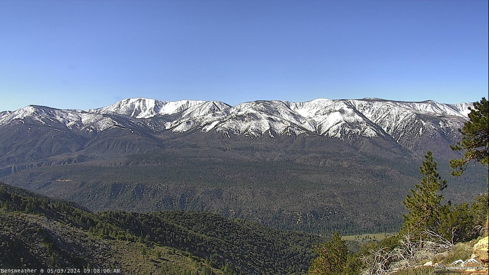
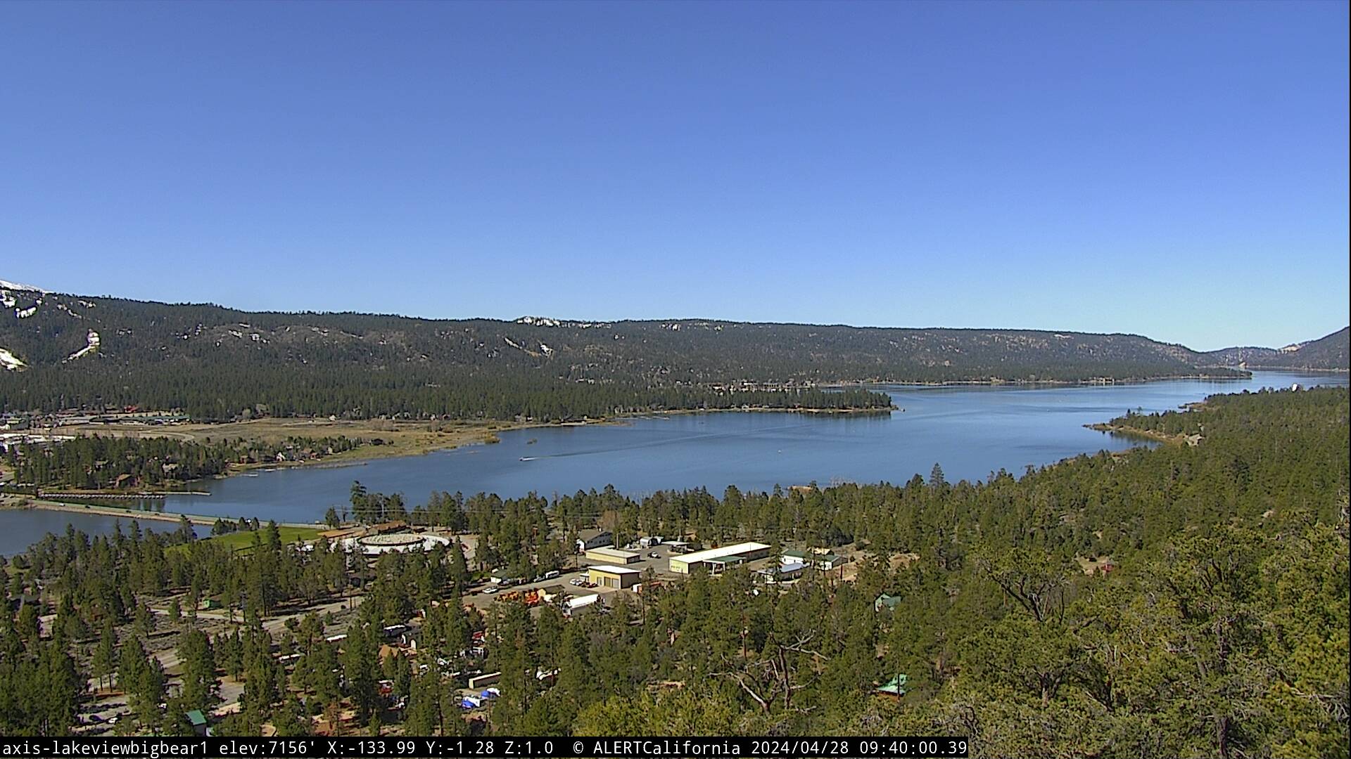
| High pressure continues to strengthen across the area bringing above-normal temperatures and dry weather through the weekend. Looking at mostly clear skies through Thursday as daytime highs reach the mid-80s, southwest winds 10-15 mph during the afternoon, little change on Friday. Temperatures will come down a couple of degrees, but still a bit above average, with highs in the lower 80s as overnight lows drop into the 40s and 50s. Southwest winds will continue 5-15 mph during the afternoons. The ridge is forecast to drift over towards the Four Corners region later next week, which should allow for some cooling and an increase in monsoon moisture. Potentially leading to a few afternoon thundershowers by the end of the week., overall, a pretty typical summer-time pattern!
|
|
 |